Orkney - The Isles of Egilsay and Wyre

Today dawned damp and cloudy, or was it mist? Our first walk on ferry ride from Tingwall to Egilsay was stuffed with working vehicles. We watched it being loaded, certain something would get hurt. We also watched the ferry bring mail and deliver fresh milk to the outlying island.

Our visit to Egilsay was to see St. Magnus Kirk and other things St. Magnus. We saw the church, and were disappointed that it was closed to exploring due to structural weakness.


This form of church building is typical of churches in Ireland, not Scotland. The round tower may have been used as much for defense or observation as a belfrey.

We were obviously not the only visitors to the site of Magnus' killing. It is said the field turned immediataly green as the axe split his skull.

We took respite in the Egilsay Community Hall where electricity, wi-fi and the makings for tea afforded a nice break for lunch.


St. Magnus Beach.

We caught the ferry to Wyre for all things Cubbie Roo, the Anglicized name of Kolbein Hruga, a "very able man ... farming on Wyre in Orkey. He had a fine stone fort built there, a really solid stronghold." (Orkneyinga Sagas)

This was our day for "monument is closed". Perhaps they are having some sort of pandemic? St. Mary's Church was also closed for exploration.


So we sat on the wall and enjoyed a mid afternoon snack. The sun had burned through the low clouds just for us on Wyre!


Cubbie Roo had a stronghold, but first he was a farmer. The farm on the left, below, may have been the site of his farm. St. Mary's Church is the walled structure on the right.


We've seen a lot of castle ruins; this is the first with a moat with water in it!


Presumably the kitchen as it has a great stove in it.


Curved castle enclosure and walls.


Waiting in the spartan ferry terminal guest lounge for our ride back to Tingwall.


Orkney - The Isle of Eday

Today was gloriously sunny and clear, and after some mostly cloudy and rainy days, we needed it for our mental health and the trip to Eday.

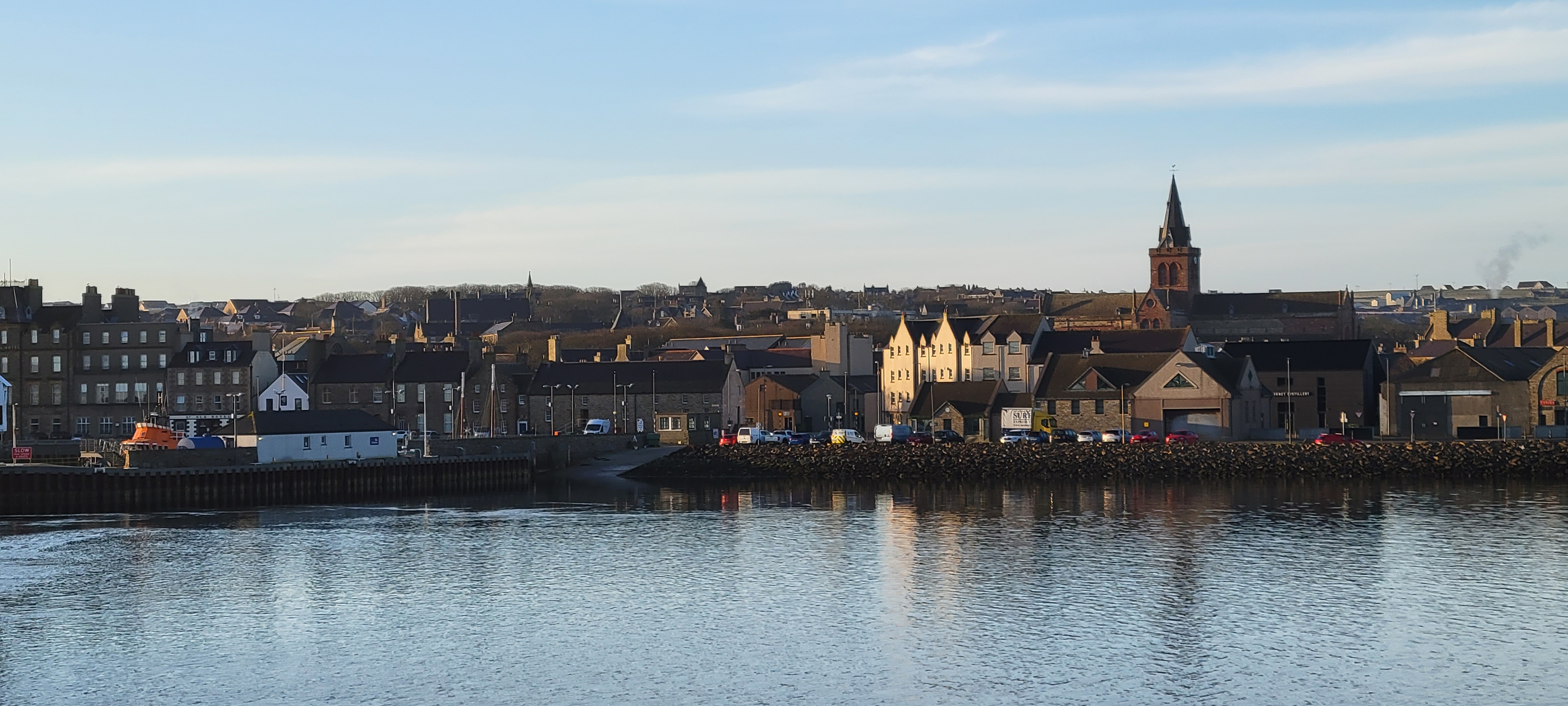
View of Kirkwall from the departing ferry.


The ferry made a stop on the Island of Stronsay before we reached Eday.


Our first view of the Setter Stone on Eday. This standing stone is said to be the tallest stone on Orkney.


Lichen covered, standing on the edge of Mill Loch, in the middle of the island. Why?


Our goal was Vinquoy Cairn and along the way we passed Braeside and Huntersquoy Cairns. These have been heavily robbed of stone and artifacts; the only thing left at Braeside are the rocks too large to move!


Vinquoy Cairn was pretty amazing. It has a "sun roof" so that the inside is NOT like a cave and definitely not scary. It was a tight squeeze, but we both made it in and back out.


Views from the Trig Point on Vinquoy Hill and the walk down. Amazing color; stunning views.


Sun setting on the ferry ride back to Kirkwall.


Orkney Mainland Day 3

A quick post tonight as we are heading out early tomorrow to the island of Eday.

It rained most of the day today so we decided to do "inside" things such as shop (my Christmas is done!), museum and laundry. Not many photo ops.

The Big Tree on Albert Street. This tree is said to be more than 200 years old. It was part of a trio of trees planted in the front yard of Mr. Thomas Sclater's house. When he began sawing the trees  down, the Town Council stopped him and paid him five pounds sterling to keep the tree alive. 

A side door at St. Magus Cathedral in Kirkwall. We chose not to tour the cathedral today as we plan to go to church on Easter Sunday here. St. Magnus is a big deal, though, with a pilgrimage path called St. Magnus Way here on the isles. Magnus Erlendsson was his name and early on he refused to pick up arms and fight. He quickly recovered from that weak moment and went on to have a successful Viking career of murder, pillage and mayhem. He eventually converted to Christianity and was martyred with an axe through his skull on the Island of Egilsay. His remains, including the axed skull, are buried in the Cathedral.

It is obvious the Picts inhabited the islands; however, very little of their presence remains. This stone is a magnificent example of the symbols the Picts used to ... no one knows what the symbols mean or how they were used. Were they only decorative? religious? personal?

Game board scratched into stone. The two playing pieces are cow knuckles. I didn't know that cows have knuckles.

An example of Norse graffitti etched into the walls of Maeshowe Cairn after being broken into and looted by the Norsemen.

Creepy faces carved into stone which once sat atop a column at St. Magnus Cathedral.


Orkney Mainland Day 2

We made a quick shopping trip at the grocer's for lunch and breakfast provisions then headed north to the Brough of Birsay - a Norse stronghold built upon a Pict settlement likely built upon another culture's settlement.

Accessible only at low tide we tumbled out of the rental car into the fierce wind blowing from the north.


The purpose built causeway spans the divide between Mainland and Birsay. We are heading for the remains of the settlement just to the right of the small building near the center of the photo, then up to the lighthouse on the horizon.


Video from the causeway looking north.

Even on a grey day the color of the stone and waves is amazing.


This settlement clings to the edge of Birsay, facing the fierce northern winds. Thornfinn Sigurdson, one of the famous Earls of Orkney with a charming history of fratricide, pillage and murder, eventually converted to Christianity and had a "minster" built at Birsay (Orkneyinga Sagas), perhaps here.  This is a photo of the remaining walls of a church building at the settlement.


Stone lined and lidded drainage ditch from the settlement to the edge of the island.


A Pictish standing stone was unearthed in the cemetery and now is displayed in the National Museum. This is a replica.


A very windy walk led up to the lighthouse. I didn't get a photo of the lighthouse itself; rather, I let it break the wind's fierceness and enjoyed a respite in its shadow.

As always I am fascinated  by ocean beaches and the detritus created and left behind by the mysterious tides and ocean. These rocks have beautiful patterns on them, reminiscent of water and birds.


After a quick visit to the 16th century ruins of the Earl's Palace, we headed to Scara Brae. This ancient community was buried under sand for millennia and unearthed in the 19th century. Pre-dating the Pyramids by 1,000 years these stone dwellings were all built similarly with a central hearth, a "dresser" on the wall facing the entrance, and sleeping compartments along the sides. Joined by narrow passageways, sometimes covered, the people who lived here were farmers and fishermen.


Our last stop of the day was to the Ring of Brodgar. This site is near the Stones of Stenness that we visited yesterday and is contemporary with those stones. The circle once contained 60 or more standing stones; today there are about 30, with half of them repositioned to standing from where they had fallen.


We were unable to touch the stones as the weight of tourist like us damages the pathways nearest the stones.

Not much to say about this place as it left me speechless.